
Sangerberg: Hotels and Accommodations
Accommodation in Sangerberg
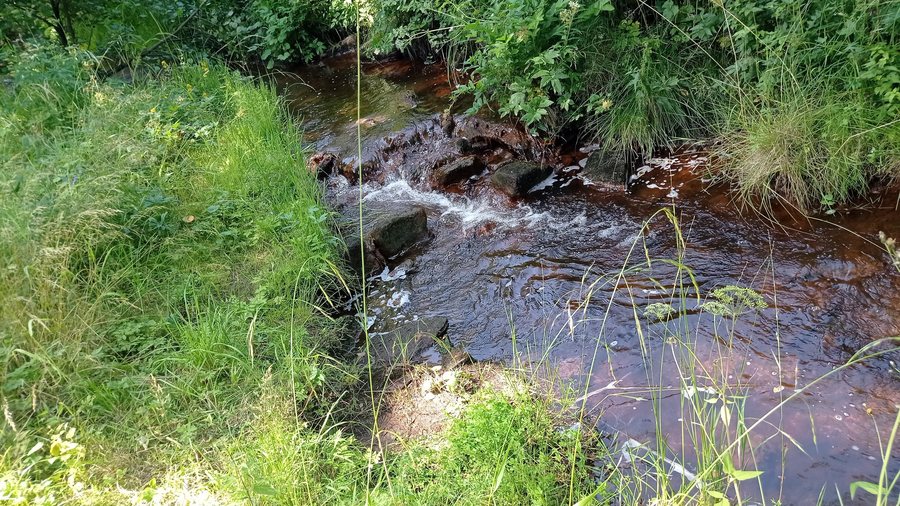
Prameny is located in the Slavkovský les Protected Landscape Area, surrounded by deep forests, peat bogs, and springs, and offers opportunities for hiking and nature observation.
Nature
The Křížky natural formation consists of an exposed rock outcrop of massive bronzite serpentinite, as well as habitats of rare and endangered plants, including Cerastium alsinifolium, Asplenium adulterinum, Asplenium cuneifolium, and Galium sudeticum.
Trails and Springs
The Mnichovské hadce educational trail is 12 kilometers long, is a hiking trail, and is of moderate difficulty. It begins at the crossroads near the Křížky and Upolínová louka national nature monuments. Eight information panels provide information about the unique serpentinite flora, the influence of serpentinite on vegetation and mineral waters, the historical use and processing of serpentinite, and the medieval structure Dlouhá stoka. A shorter section of the educational trail is a one-kilometer round trip from Křížky and Upolínová louka to Dlouhá stoka and back.
The Gisela and Rudolf springs were renovated in 2012 and opened to the public. The covered spring area of the Giselina and Rudolfova springs near Prameny offers natural loungers. Remains of a former swimming pool can still be seen at the Gisela, Rudolf, and Nový Lázeňský springs.
The Lázně Prameny geological site is freely accessible; by car, it can be reached to within 250 meters. A blue-marked side trail leads to Barochův pramen from the crossroads in Prameny.
Culture and History
The first inhabitants of Prameny were miners who settled there at the beginning of the 14th century. The first written mention of Prameny dates from 1357. Tin and silver mining in the area around Prameny reached its peak in the 16th century. At the historic spas of Prameny, the Rudolfův pramen spring was used for therapeutic treatments.
The Tři kříže stand on a rocky outcrop at an elevation of 817 meters, to the right of the road toward Nová Ves, above the depression of the former town; Upolínová louka lies around them. The late Baroque Chapel of Panny Marie stood around 1750 on the wooded Kalvárie hill, approximately 600 meters west of Prameny (Sangerberg), and over time became a popular destination for excursions and pilgrimages.
The former Church of sv. Linharta was demolished in 1958; indistinct wall remains are still present on the site.
Other places: Habakladrau, Trebendorf, Thurn, Untersandau, Schönbach, Eger, Wilkowitz, Oed
To the higher-level travel overview: Eger District.

