
Mladeč: Hotels and accommodation
Accommodation in Mladeč
The Mladeč Caves are an important paleontological and archaeological site. Bones of Pleistocene vertebrates, human remains from the Stone Age, stone tools and fireplaces have been discovered there.
Culture
The archaeological site of Mladeč–Třesín also preserves evidence of settlements from the Eneolithic, Bronze Age, La Tène period and Early Middle Ages. The caves comprise a total of 1,250 metres of passages and halls, with a difference in elevation of 30 metres. The visitor tour through the Mladeč Caves is 380 metres long, includes a small archaeological exhibition and takes about 40 minutes.
Other historic traces in Mladeč include the Chapel of St Florian and St Barbara. It was built in 2003 and has a square bell tower with a bell. Čertův most, a stone arch, stands on the Třesín educational trail. The Rytířská síň was a structure with sixteen ancient columns; today, only one column remains.
Nature
The Třesín National Nature Monument was established to protect the karst caves near Mladeč. The Mladeč Caves lie in the Litovelské Pomoraví Protected Landscape Area and were formed in the limestone hill of Třesín.
The cave landscape includes the approximately 50-metre-long Podkova Cave, which was created by the connection of two passages that originally ran separately. During the winter hibernation period for bats, Podkova is closed and becomes accessible again in spring.
Trails
The Třesín educational trail begins in the village square of Mladeč, passes the Mladeč Caves and runs around the karst hill of Třesín. The approximately 5-kilometre circular route initially follows a red-marked hiking trail and then a blue-marked one. It runs mostly along forest paths and passes geological formations as well as the remains of buildings associated with the Lichtensteins.
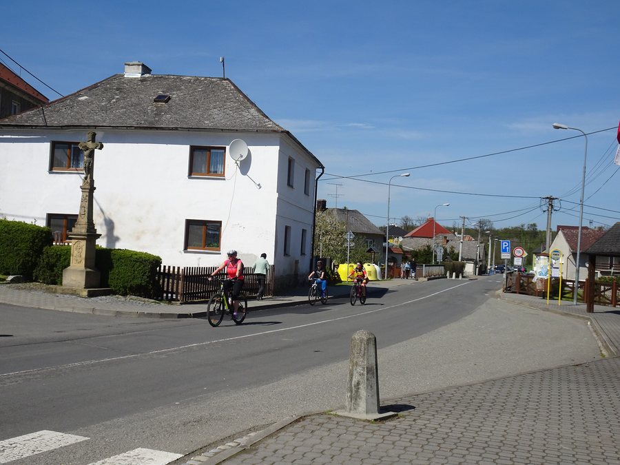
Red- and blue-marked hiking trails run through Mladeč. In addition, a marked local cycling route passes through the village. This means that the village has both marked hiking trails and a designated connection for cycling.
Getting there
The visitor facilities of the Mladeč Caves are located at Mladeč 84, 783 21 Chudobín u Litovle. The GPS coordinates are 49°42′23″N, 17°00′57″E.
On railway line 308 between Litovel and Mladeč, there is a stop called Mladeč jeskyně. By car, the Mladeč Caves can be reached via exit 245 of the D35; parking is available on a roadside parking strip or in the village square of Mladeč.
Other places in the same directory: Kocourovec, Olomouc, Tovéř, Měrotín, Cholina, Šternberk, Červenka, Zadni Ujezd.
To the higher-level travel overview: Olomouc District.

.jpg)