
Seloutky: Hotels and accommodations
Accommodation in Seloutky
Seloutky lies east of the last foothills of the Drahanská vrchovina and on the western edge of the Hornomoravský úval. The wooded Chlum above Seloutky is one of several peaks of the predominantly forested Záhoří Ridge. At 412 metres, it is the highest point in the cadastral territory of Seloutky.
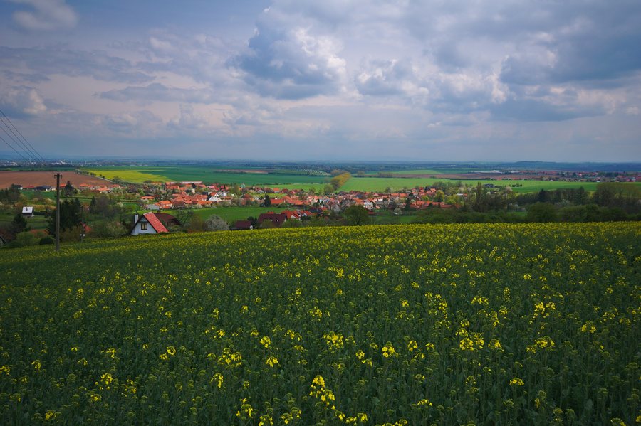 File:Obec od západu, Seloutky, okres Prostějov.jpg
Photo: Jiří Komárek via Wikimedia Commons, CC BY-SA 4.0
File:Obec od západu, Seloutky, okres Prostějov.jpg
Photo: Jiří Komárek via Wikimedia Commons, CC BY-SA 4.0
Nature
The protected natural monument of Dolní Vinohrádky preserves populations of warmth-loving plants, their plant communities, and the animals associated with them.
Culture and history
The oldest written record of Seloutky dates from 1325. The Chapel of the Assumption of the Virgin Mary in Seloutky was completed in autumn 1802 and consecrated to this dedication the following year.
The Chapel of Saint Sebastian stands above Seloutky on a gentle slope below Všetičkova skála. It was already standing by 1836 at the latest. The war memorial in Seloutky was ceremonially unveiled on 26 August 1928 on the occasion of a gathering of local residents.
The Renaissance chalice from Seloutky dates from 1538 and is currently on display at the Archdiocesan Museum in Olomouc.
Trails and viewpoints
The 800-metre-long “Panelka” path connects Prostějov with the Domamyslice district and the municipality of Seloutky, continuing in the direction of Záhoří. At Špičáková skála, there is a wooden observation pavilion with seating, which the Seloutky municipal office had built at the beginning of the 21st century.
More local pages: Zdětín, Obědkovice, Hrochov, Hrubčice, Smržice, Polomí, Budětsko, Tvorovice.
For the higher-level travel overview: Prostějov District.

