
Časy: Hotels and accommodations
Accommodation in Časy
The Časy geological locality is an abandoned open-pit mine with exposures of Cretaceous sediments. It contains dark gray calcareous claystones from the youngest Cretaceous deposits and comprises two layers of calcareous sandstone with muscovite and plant remains. It is registered as a site of geological interest. A permit is required to drive by car to the Časy geological locality.
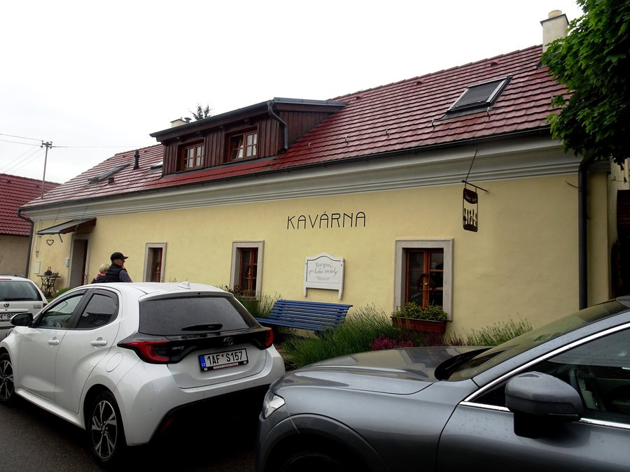 File:Ronov nad Doubravou, kavárna Staré časy (1).jpg
Photo: Palickap via Wikimedia Commons, CC BY 4.0
File:Ronov nad Doubravou, kavárna Staré časy (1).jpg
Photo: Palickap via Wikimedia Commons, CC BY 4.0
History and culture
The first written mention of Časy dates from 1494. The bell tower in Časy dates from the mid-18th century. In the 16th century, at least part of Časy belonged to the Cistercian monastery in Sezemice. The village-square cross, or wayside shrine, in Časy is designated as a cultural asset.
A number of texts for Christmas carols typical of the municipality, recorded up to 1900, originated in Časy. The former brickworks in Časy was, for a time, the most modern brickworks in the surrounding area. In addition, a hunt began near Časy.
Landscape
Časy lies on the edge of the Polabian Lowland. The surrounding area consists of fields and small patches of woodland. A marked local cycling route runs through Časy.
Other places
Čeperka, Černá U Bohdanče, Horní Roveň, Sopřeč, Svinčany, Srnojedy, Rohovládova Bělá, Turkovice
For the higher-level travel overview: Pardubice District.

.jpg)