
Kamenná Horka: Hotels and Accommodation
Accommodation in Kamenná Horka
Kamenná Horka is located on the western side of the Hřebeč Massif and at a crossroads of the so-called salt roads. A particularly tangible way to explore the local history is to visit the parish church of St. Mary Magdalene and its surroundings.
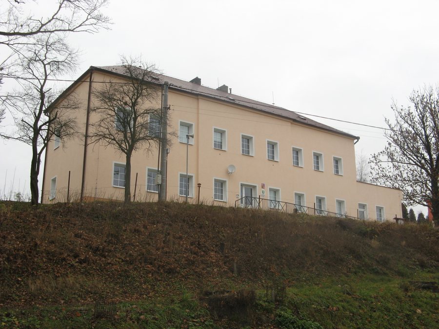
Church and Local History
The parish church of St. Mary Magdalene was first mentioned in the 14th century. It is originally Gothic and was rebuilt in the Baroque style in 1749. Access to the cemetery in front of the church leads through a bell tower dating from the second half of the 15th century. In the cemetery by the church, there is a preserved gravestone from 1590; in front of the cemetery stands a stone cross from 1836. There is also a group of statues of the Holy Trinity from 1757 near the church.
A former national border divided Kamenná Horka into a Bohemian and a Moravian settlement. The two settlements were united in 1950 to form today’s Kamenná Horka.
Landscape and Trails
The extensive woodland around Kamenná Horka is suitable for hiking. A yellow-marked hiking trail runs through the lower western part of the village towards the Horecký hřbet ridge. A red-marked hiking trail runs through the upper eastern part between Březová nad Svitavou and Hřebeč.
Cycle route 4029 also runs through the upper part of Kamenná Horka, along a paved road there.
Transport
There is regular bus service in Kamenná Horka on weekdays. The nearest railway stop is Svitavy-Lány.
You can access other local pages directly: Malíkov, Sebranice, Svojanov, Široký Důl, Nedvezi, Janov, Újezdec, Chotenov.
For the higher-level travel overview: Svitavy District.

