
Nemanice: Hotels and Accommodation
Accommodation in Nemanice
Nemanice lies below the Haltrava Ridge, which reaches an elevation of 882 m. At the same time, this ridge separates Nemanice from the rest of the Czech territory.
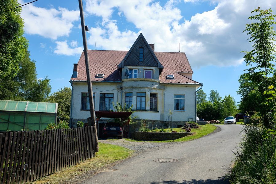
Landscape
The Nemanice area is drained by the Nemanický potok, which belongs to the Danube river basin. Nemanice is one of five settlement segments in Zone IV of the Český les Protected Landscape Area. The floodplain landscape of the Nemanický potok is designated as a natural asset in the Nemanice land-use plan.
History and Culture
Nemanice was founded shortly before 1591 under the name Loužnice. The Baroque Church of Saint John of Nepomuk in Nemanice was built under the patronage of the Stadion family from 1781 to 1784; its complete renovation began in 1991.
In Novosedly near Nemanice, the restored chapel is a cultural monument. It serves as a place for meeting, quiet reflection and commemorating the eventful history of the borderland.
Routes
The existing hiking and cycling routes in Nemanice mainly run along field and forest paths, as well as Class III roads with little car traffic. Cycle Route 2280 leads from Bělá nad Radbuzou via Bezvěrov and Šidlákov to Nemanice and is 23 km long. Cycle Route 2281 leads from Bělá nad Radbuzou via Újezd Sv. Kříže, Hostouň, Drahotín and Hvožďany to Nemanice and is 26 km long.
Event
At Nemanická LáFka, participants traditionally try, in pairs, to cross a running bridge over the swimming pool without getting their feet wet.
More local pages: Mezholezy, Němčice, Chodská Lhota, Kolovec, Klenčí Pod Čerchovem, Hlohová, Trhanov and Hlohovčice.
To the higher-level travel overview: Domažlice District.

.jpg)