
Sirá: Hotels and accommodations
Accommodation in Sirá
Sirá lies at the northeastern foot of Sirská hora in the wooded Brdy landscape. A continuous forest complex extends around Sirská hora, which lies 592 m above sea level. The municipal area of Sirá includes forests, fields, and Cekovský rybník. In the eastern part of the municipal area of Sirá, the particularly protected plant species European globeflower (Trollius altissimus) grows near Cekovský rybník. Hůrka is registered in Sirá as a significant landscape feature and is home to old fruit trees.
Culture and history
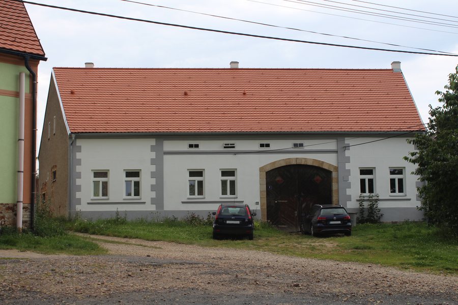
Sirá village square is dominated by a natural pond with a stone bus stop; parking is available by the pond. The chapel on the village square is designated as a historically significant building. The medieval and modern-era center of Sirá is registered as a Category I.20 archaeological site. Sirá is first mentioned in 1462 in an entry in the so-called “Desky dvorské”. A monument now stands at the site where Václav Holub was found.
Trails
The Radeč cycling tour follows a forest path with a gentle ascent around Sirská hora. A circular hike from Lhota pod Radčem follows blue-marked trails to Sirá and onward to the village square. A marked hiking trail also runs through the municipal area of Sirá and connects Sirská hora with Bukov Mountain.
Getting there
From the D5 motorway between Prague and Pilsen, take exit 50 near Mýto, drive through Mýto on road 605 towards Prague, and turn left after approximately 2 km.

.jpg)