
Vidice: Hotels and Accommodations
Accommodation in Vidice
Vidice lies in a depression around the source area of the Slatina stream and along the road connecting Horšovský Týn with Bor u Tachova.
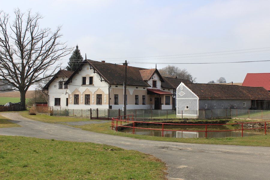 File:Vidice, Chřebřany, common 2.jpg
Photo: Pavel Hrdlička (Czech Wikipedia user Packa ) via Wikimedia Commons, CC BY-SA 3.0
File:Vidice, Chřebřany, common 2.jpg
Photo: Pavel Hrdlička (Czech Wikipedia user Packa ) via Wikimedia Commons, CC BY-SA 3.0
Nature
The predominantly forested Sedmihoří Nature Park is located within the municipality of Vidice. It consists of a depression surrounded to the south, west, and north by a ring of 11 peaks. The highest is Racovský vrch at 619 m.
Paths and Routes
The Sedmihoří educational trail runs through the municipality of Vidice and has 12 information boards. A marked yellow hiking trail also runs through the municipality toward Kakov, via Racovský vrch to Mezholezy. The marked cycle route 2242 runs via Bernartice, Sychrov, and Vidice, continuing toward route 2241.
Culture and Pilgrimage
North of Vidice, in the fields along the road to Bernartice, stands the Church of St. Apollonia. It was probably built in the 17th century as a Baroque pilgrimage church and contains furnishings from the second half of the 17th century and the first half of the 18th century. The façade and roofing were restored in 1994–1995.
The first pilgrimage of the year takes place in Vidice every year. During the pilgrimage celebrations in Vidice in 2023, a Holy Mass was held in the Church of St. Apollonia.
Other local pages: Zahorany, Mutěnín, Úsilov, Domažlice, Kout Na Šumavě, Pařezov, Puclice, Stankov.
To the overarching travel overview: Okres Domažlice.

