
Otmarov: Hotels and Accommodation
Accommodation in Otmarov
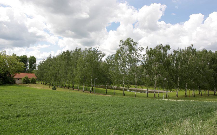
Otmarov lies on a plain at an elevation of 188 metres. The surrounding, gently sloping terrain rises to 205 metres and shapes the landscape around the village.
Landscape and Nature
The most important watercourse is the Dunávka. Due to the very favourable soil conditions and the warm, low-precipitation climate, the area around Otmarov is used intensively for agriculture.
The gently hilly terrain and low precipitation in Otmarov are suitable for easy family cycling trips. More experienced cyclists are recommended to take the EURO-VELO long-distance cycle route – Jantarová stezka.
History and Culture
Otmarov was founded in 1783 by Otmar Konrád, the abbot of Rajhrad Monastery. The residents built the Chapel of St Otmar in 1883 to commemorate the 100th anniversary of the municipality.
Earlier traces of settlement are also part of the village’s history: The settlement of Dunajovice probably disappeared in the 15th century as a result of a fire followed by the plague. The first settlers came mostly from northeastern Bohemia and were predominantly Germans.
The municipal project Kronika vzpomínek includes interviews with eyewitnesses from Otmarov about life in the municipality. Otmarov’s cultural events also include the Otmarovské hody, which take place in November.
Leisure and Transport
Otmarov has a landscaped multi-purpose sports field, a tennis court and a relaxation area, all suitable for recreation.
Otmarov is integrated into the Integrated Transport System of the South Moravian Region, lies in zone 510 and is served by bus route 509 on the Měnín – Otmarov – Rajhradice – Rebešovice – Brno route and back.
Other Places
Other places in the same region: Rajhrad, Loděnice, Oslavany, Babice U Rosic, Kuřim, Ochoz U Brna, Střelice, Synalov.
To the higher-level travel overview: Okres Brno-Venkov.

