
Ovesná Lhota: Hotels and Accommodation
Accommodation in Ovesná Lhota
Location and Landscape
Ovesná Lhota is located on a high plateau of the Bohemian-Moravian Highlands near Světlá nad Sázavou. The surrounding area includes Ostojovka [Ledeč nad Sázavou-Souboř] and Melechov, both mountains. Nearby are also Homole [Sázavka] and Mezi Lesy [Světlá nad Sázavou-Benetice], both hills.
Further afield in the region are Orlík, a ruin, Želivský Kláštor, a monastery, and Kačina Chateau, a castle.
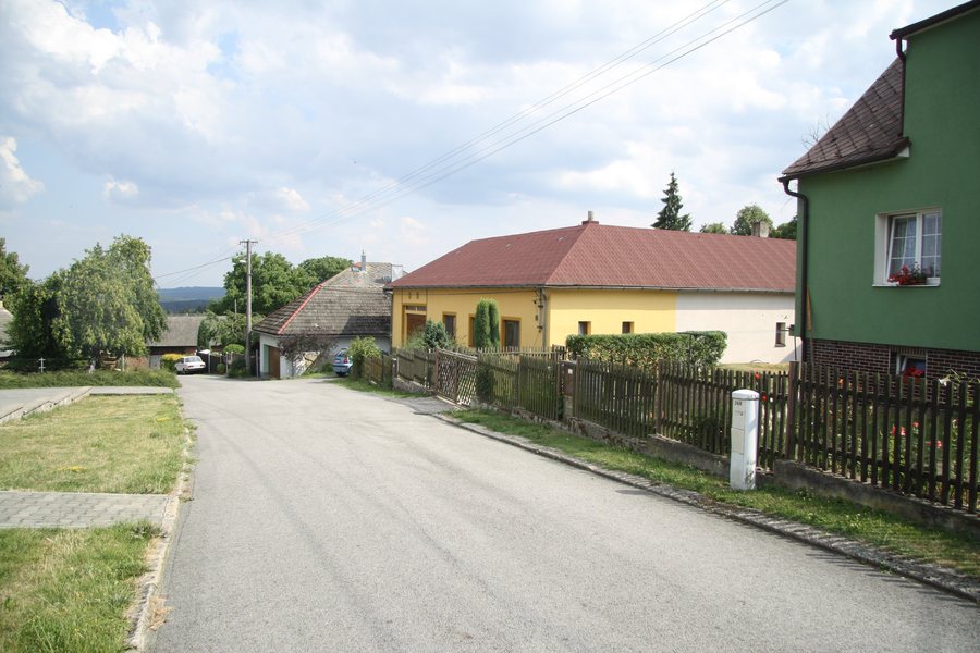 File:Down part of Ovesná Lhota, Havlíčkův Brod District.jpg
Photo: Jiří Sedláček via Wikimedia Commons, CC BY-SA 4.0
File:Down part of Ovesná Lhota, Havlíčkův Brod District.jpg
Photo: Jiří Sedláček via Wikimedia Commons, CC BY-SA 4.0
Culture and History
The municipal chapel in Ovesná Lhota was built in 1938 and consecrated on 24 July by František Štulpa from Smrdov. The U Božích muk cross commemorates the soldiers who fell in the Hussite Wars. The cross in front of the school commemorates the abolition of compulsory labor; two lime trees were planted beside it in 1910.
The Ovesná Lhota war memorial was unveiled on 12 May 1946 and stands in the center of the village near the chapel. Four lime trees were planted around the mass grave of the soldiers in 1919.
Hiking
In 2016, the historical hiking trail “In the Footsteps of Josef Toufar” passed through Ovesná Lhota, then continued along a field path toward Kynice and through the forest below Borovina. Also in 2016, the 11-kilometer hiking route “By Road and Off Road” passed through Ovesná Lhota to Sázavka railway station.
Other Places
Other local pages: Cibotín, Horní Krupá, Bartoušov, Loukov, Malčín, Kamenná Lhota, Lány, Česká Bělá.
For the higher-level travel overview: Havlíčkův Brod District.

