
Přešovice: Hotels and Accommodation
Accommodation in Přešovice
South of the built-up part of Přešovice, the Rokytná River forms the boundary between the Vysočina Region and the South Moravian Region.
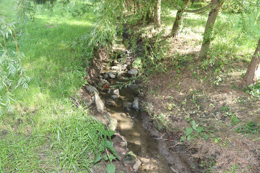 File:Overview of Podvesní potok in Přešovice, Třebíč District.jpg
Photo: Jiří Sedláček via Wikimedia Commons, CC BY-SA 4.0
File:Overview of Podvesní potok in Přešovice, Třebíč District.jpg
Photo: Jiří Sedláček via Wikimedia Commons, CC BY-SA 4.0
Nature
The Rokytná Nature Park also extends across the cadastral area of Přešovice and covers an area of 2,870 hectares. It protects the landscape character of the local hilly highlands, with the distinctive valley cut by the Rokytná and its numerous deeply incised meanders. The nature park contains several Sites of Community Importance (SCIs) and a nature reserve. The European protected site Řeka Rokytná covers 123.678 hectares.
In the vicinity of Přešovice, the meandering Rokytná River preserves its natural landscape character, with old riverside trees and numerous rock formations.
Cycling
The Mlynářská Trail leads to Přešovice along a dirt track, crosses road III/4006 there, and then continues via road III/4007 to Litovany and onward towards Radkovice. As a cycle route, it passes through Rouchovany, Přešovice, Litovany and Biskupice-Pulkov.
Culture
The Church of Saints Peter and Paul in Přešovice was built in 1908 in the Neo-Romanesque style. The village has a monument to the victims of the World Wars; a traditional pilgrimage also took place in Přešovice.
The ruins of Rabštejn and Tempelštejn, the mountains Stříbrná hora, Václavský Kopec and Příčník, and the Myslibořice chateau park are located in the vicinity of Přešovice. In the wider regional surroundings of Přešovice are Babí hora mountain and Karlslust Castle.
Litovany, Horní Heřmanice, Hrotovice, Domamil, Dolní Lažany, Předín, Kojetice Na Morave, Klučov
To the higher-level travel overview: Třebíč District.

