
Hradčovice: Trails, Nature and History
Accommodation in Hradčovice
Nature and Trails
The marked, five-kilometre educational trail “Hradčovice–Drslavice” begins in the village square of Hradčovice and focuses on natural history. Its stations provide visitors and passers-by with information about the area’s valuable fauna and flora. In good weather, the educational trail offers views of the Poolšaví landscape. The starting point, route length and thematic focus provide a clear picture of the route’s course.
The well-signposted “Po hranici devíti katastrů” educational trail can be accessed from Hradčovice. It is approximately nine kilometres long and is also suitable for cycling tourism. This places two routes of different lengths and two different forms of transport side by side. The information makes it easier to make an objective choice between a shorter nature trail and a longer route associated with cycling tourism.
The “Hradčovice–Drslavice” educational trail runs along the Rovná Hora nature reserve. The nature reserve lies 1.3 kilometres north of Hradčovice in the cadastral territory of Lhotka. It protects the species-rich population of endangered insects, particularly butterflies. The route and the protected area thus represent two connected but independent topics: the course of the trail and the area’s distinctive animal population.
In Lhotka, a district belonging to the municipality of Hradčovice, there is a 35-metre-high lookout tower; its viewing platform is located at a height of 18 metres. From there, visitors can enjoy views of the White Carpathians and Velká Javořina Mountain. The dimensions of the tower and platform describe the structure separately from the landscape destinations mentioned.
Geographical Context
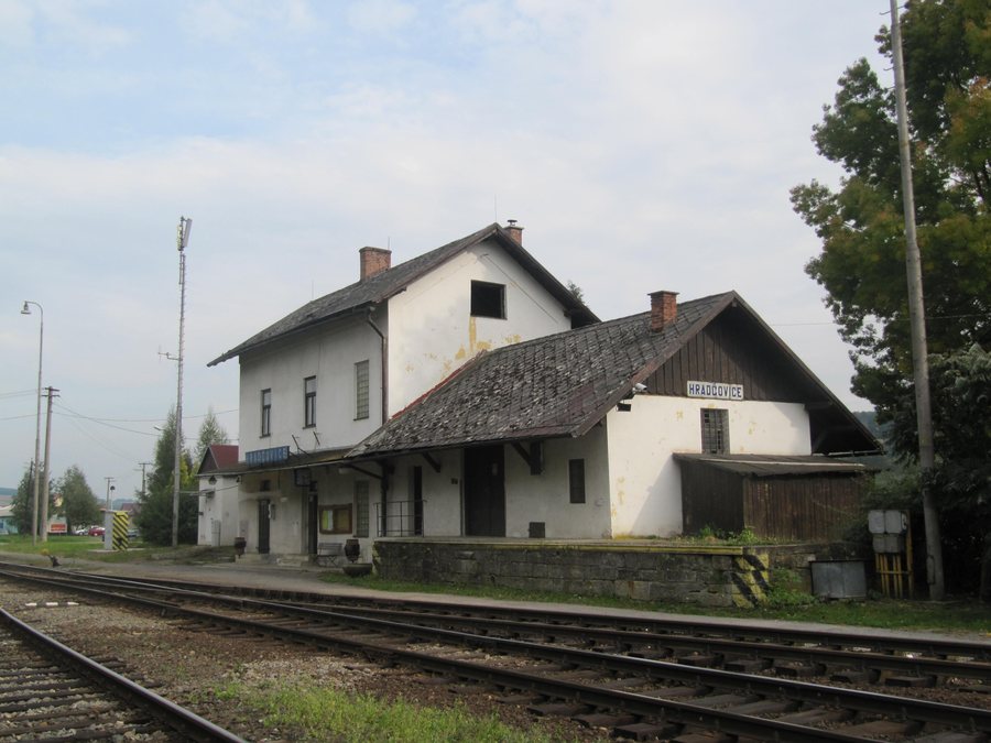
Hradčovice railway station is located on line 341 between Staré Město u Uherského Hradiště and the Vlárský průsmyk, as well as on the Újezdec u Luhačovic–Luhačovice line. The two railway connections mentioned place the station within different route networks and add a transport-related aspect to the description of the trails and landscape.
The historic Vrchová cesta road connected Uherský Brod with Uherské Hradiště and possibly also other places in northern Moravia. The cautious wording leaves open how far the historic connection actually extended. Alongside today’s railway lines, this former transport route is therefore also part of Hradčovice’s geographical context.
Accommodation
Those who choose Hradčovice as a travel destination can consider travel dates, room category and cancellation conditions as separate details when reviewing hotel offers. This keeps the choice of location distinct from the respective conditions of an offer, while the nature, transport and cultural topics can be considered independently.
More Local Pages
More local pages: Svárov, Květná, Břestek, Horní Němčí, Částkov, Buchlovice, Záhorovice, Ořechov
Culture
The All Saints’ parish church in Hradčovice stands on the grounds of the original cemetery precinct, which was enclosed by a wall with pillars set in front of it. An oriented single-nave building, the All Saints’ Church has a rectangular floor plan, a short transept, a set-back three-sided chancel and a four-sided bell tower attached to the façade. The surrounding enclosure and the articulated architectural form are among the distinguishing features of the church complex.
The oldest construction phase of the All Saints’ Church in Hradčovice dates back to the 13th century. In 1360, a fortress in Hradčovice is documented as being owned by Oneš ze Šarova. The two details refer to different historical levels: the church’s early origins and a later-dated record of ownership of the fortress.
For the higher-level travel overview: Uherské Hradiště District.

