
Discover Muşeteşti: Churches, Landscapes and Routes
Accommodation in Muşeteşti
Muşeteşti is a pastoral area where folk traditions are preserved. Culture, distinctive landforms and a network of routes shaped by connections between several localities exist side by side here. The local landscape includes historic wooden churches as well as named landscape features and connections through the county.
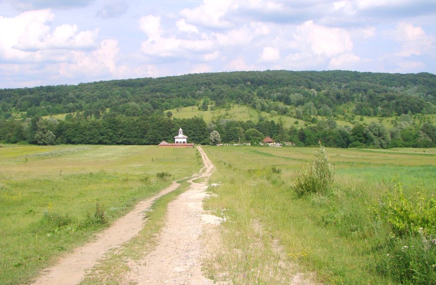 File:RO GJ Biserica de lemn din Musetesti-Sarbesti (1).jpg
Photo: Țetcu Mircea Rareș via Wikimedia Commons, CC BY-SA 4.0
File:RO GJ Biserica de lemn din Musetesti-Sarbesti (1).jpg
Photo: Țetcu Mircea Rareș via Wikimedia Commons, CC BY-SA 4.0
Culture and History
The wooden church “Sf. Îngeri” (“Sfinții Îngeri”) dates from 1751 and bears the monument protection code GJ-II-m-B-09334. It is located in the cemetery of the village of Muşeteşti, in the northern part of the settlement, west of the DJ665 county road and near the junction of DJ665 and DC35C.
The wooden church “Sfântul Nicolae” is located in the cemetery of the former hamlet of Sârbești, which has been abandoned since 1864. It lies south of Muşeteşti near the western bank of the Amaradia River.
Muşeteşti Community Day is an annual traditional celebration and also the church feast of the village church “Nașterea Maicii Domnului”. It takes place on September 8. Thus, in addition to the permanently located wooden churches, an annually recurring festival date is also part of the locality’s cultural information.
Landscape and Natural Environment
The landforms in Muşeteşti have high landscape value. Muşeteşti is associated with distinctive landforms such as Plaiuri, high alpine valleys and viewpoints. These names stand alongside the area’s pastoral character and complement the cultural references to the locality with specific landscape elements.
The high-altitude subalpine and alpine Parâng Mountains are located in the vicinity of Muşeteşti as a natural area. The geographical reference therefore extends beyond the locality’s distinctive landforms into its immediate surroundings. Plaiuri, high alpine valleys, viewpoints and the Parâng area are different, individually named components of the landscape description.
Routes and Local Connections
A county tourist route leads from Târgu Jiu via Curtişoara (Bălăneşti) and Muşeteşti to Crasna (Săcelu), Novaci, Baia de Fier and Polovragi. The route names Muşeteşti as one stop in a longer sequence of localities. It begins in Târgu Jiu and ends in Polovragi after passing through further stops.
Muşeteşti is associated with mountain bike routes as well as ATV routes. Alongside the county tourist route, this means that two additional named activity types are connected with the locality: mountain biking and ATV. The three route categories differ in their designation, while the county route additionally includes a specific sequence of localities.
Muşeteşti is 9 km from DN 66 (E79) and lies on the DJ665 county road. This road is being modernized as part of the “Oltenia de sub munte” project.
When choosing a hotel in Muşeteşti, travel dates, room category and cancellation policies can be compared separately. These three details represent a distinct practical aspect of trip planning alongside the churches, landscapes and routes. This creates clear comparison levels for further planning.
Other places:Târgu Jiu, Rânca, Tismana, Baia De Fier, Aninişu din Deal, Turcineşti, Săcelu, Polovragi
To the main travel overview: Gorj.

.jpg)