
Liptovské Matiašovce: Accommodation between the Suchá Valley and the Western Tatras
Accommodation in Liptovské Matiašovce
Liptovské Matiašovce lies in the valley of the Suchá stream between the Chočské vrchy and the Western Tatras. The village therefore combines a clearly defined mountain landscape with sacred buildings, protected natural features and a signposted cycle route. The surroundings of the Suchá Valley also extend into TANAP National Park and its protection zone.
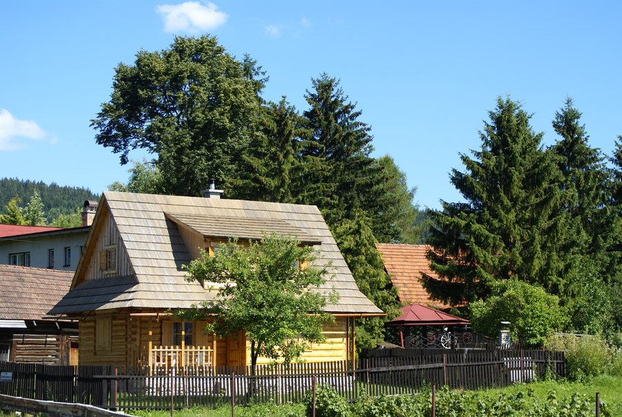 File:Slovak Republic - Liptovske Matiasovce (1).JPG
Photo: Radovan Bahna, Slovak Republic via Wikimedia Commons, CC BY-SA 3.0
File:Slovak Republic - Liptovske Matiasovce (1).JPG
Photo: Radovan Bahna, Slovak Republic via Wikimedia Commons, CC BY-SA 3.0
Landscape and nature
The Matiašovecké háje form a plateau-like submontane hilly landscape at an altitude of 700 to 900 metres. Meadows and pastures characterize this landscape. The immediate surroundings of the Suchý potok stream form the most important biocorridor in the municipality. Areas of the Western Tatras lie in the northeastern wooded part of the municipality.
Liptovské Matiašovce is considered a gateway to the Suchá Valley, which is in a sense a border valley of TANAP. The westernmost point of the national park and its protection zone lies at the edge of the forest near the mouth of the Suchá Valley northeast of Liptovské Matiašovce. Another distinctive natural feature is the black poplar Matiašovský topoľ (Populus nigra L.). It is listed in the register of protected trees in the TANAP protection zone for Liptovské Matiašovce.
Cultural and sacred sites
The Church of Saint Ladislaus is surrounded by a Baroque fortification from the 18th century with loopholes and bastions. Inside the church is an early Baroque altar of Saint Ladislaus from the mid-17th century. The church also includes the crypt of the Matiašovský family, its patrons. The church is in very good condition and serves its religious purpose.
A chapel stands in Vyšné Matiašovce, built on the site of a former wooden bell tower and used for funeral ceremonies. Since 2017, except during funerals, a Mass has been held there on the Feast of the Exaltation of the Holy Cross and a shepherds’ Mass at Christmas. The Dúpnica Cave lies in the lower part of the valley. It is considered a sanctuary from the Late Hallstatt period, dating to around 500 BC.
Cycle route
The Podtatranská Cycle Route No. 007 passes along the edge of Liptovské Matiašovce and continues to Kvačany. The route is suitable for mountain bikes. It is 34.7 kilometres long, has 633 metres of ascent and is given an estimated duration of three hours.
Accommodation offers in Liptovské Matiašovce can be compared objectively by checking the specific conditions before making a decision. On the respective page, travellers can view, for example, the exact location, type of accommodation and permitted occupancy. Included services, price components, and booking and cancellation conditions are also relevant. Those who review several options can open and compare the offers; the details shown there for the selected period and booked service remain decisive.
Further destinations
Other destinations at the same higher level are Liptovský Hrádok, Benice, Bobrovec, Vlachy, Vyšná Boca, Pavlova Ves, Kralova Lehota and Vazec.
For the higher-level travel overview: Okres Liptovský Mikuláš.

.JPG)