
Matiašovce: Discover Churches, Nature and Hotels
Accommodation in Matiašovce
Matiašovce becomes tangible through specific local details: sacred buildings, the landscape of the Spišská Magura, a tourist information system and the Vyhliadka Matiašovce viewpoint. The Roman Catholic Church of Our Lady of the Seven Sorrows was built from 1990 to 1992. This means that buildings from different periods stand side by side in Matiašovce, while the river course, protected area and viewpoint define the geographical setting of the village.
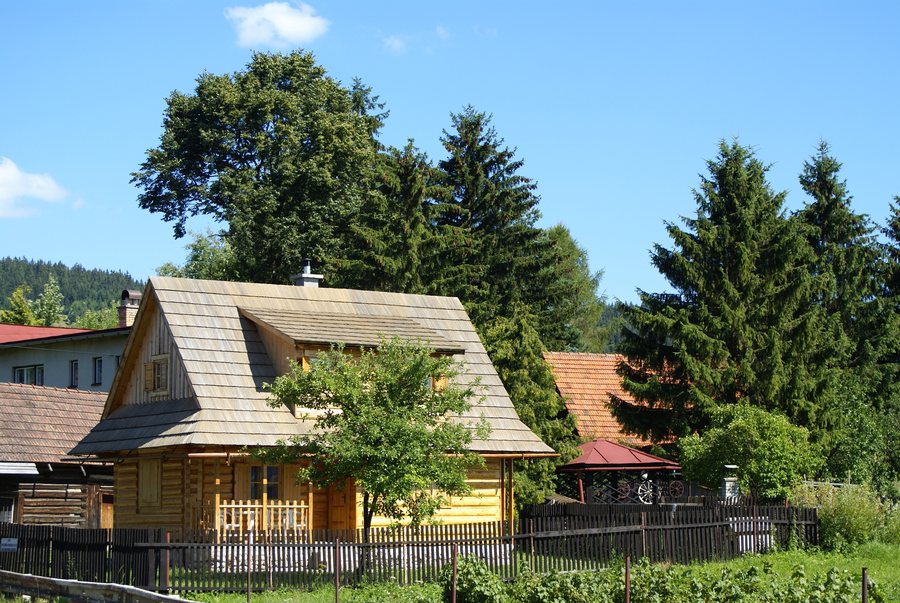 File:Slovak Republic - Liptovske Matiasovce (1).JPG
Photo: Radovan Bahna, Slovak Republic via Wikimedia Commons, CC BY-SA 3.0
File:Slovak Republic - Liptovske Matiasovce (1).JPG
Photo: Radovan Bahna, Slovak Republic via Wikimedia Commons, CC BY-SA 3.0
Culture
The Church of St Peter and St Paul in Matiašovce was built at the end of the 13th century in the early Gothic style. The church is surrounded by a wall with fourteen semicircular chapels of the Stations of the Cross. The current Stations of the Cross images date from 1835. Next to the church stands a bell tower originally dating from the Renaissance period, from the end of the 16th century. The church, chapel wall, Stations of the Cross images and bell tower form a closely connected spatial ensemble with clearly distinguishable historical dates.
Nature
Matiašovce is located in the Spišská Magura along the Rieka river. The cadastral territory of the municipality of Matiašovce lies in the protected zone of Pieninský národný park National Park, where the second level of nature protection applies. The local terrain is hilly and transitions into the hilly relief of river terraces. Thus, the village combines its classification within a landscape area, its location along the river and the legally defined protected zone with terrain of varying relief.
Getting Around the Village
The tourist information system in Matiašovce comprises two entrance boards and three covered map stations in glazed bus shelters. The map stations serve as resting places for tourists. The maps provide information about street names, parts of the village and historical monuments, thereby making it easier to find your way around Matiašovce. In this way, the stations combine an opportunity to rest with specific local information. The information on the maps ranges from the names of individual streets to the layout of the village and its historical monuments.
Viewpoint and Terrain
The Vyhliadka Matiašovce viewpoint has a modern shelter and an observation platform with views of Tri Koruny, the Belianske Tatras and the High Tatras. Barbecuing is possible on the grounds of Vyhliadka Matiašovce. The starting point for Vyhliadka Matiašovce is at the car park by the municipal office. The described viewpoint therefore comprises the shelter, platform, named sights and stated starting point as individual elements of the same site.
When comparing accommodation, first check the travel period and the stated occupancy on the respective offer page. Also pay attention to which services are included in the listed price and which components are mentioned separately. For a transparent comparison, payment deadlines and the conditions for changes and cancellations are also important. Read the information in full so that different offers can be assessed based on their stated terms and conditions. Then compare only the fields actually mentioned on the respective offer pages, and distinguish included services from optional components. This allows you to compare the fields relevant to your planning in a targeted way without assuming additional services or conditions.
You can open other places directly: Veľká Lomnica, Slovenská Ves, Spišské Hanušovce, Lechnica, Malý Slavkov, Červený Kláštor, Mlynceky, Stara Lesna.
For the higher-level travel overview: Okres Kežmarok.

.JPG)