
Rigelj pri Ortneku: Hotels, Landscape and Culture
Accommodation in Rigelj pri Ortneku
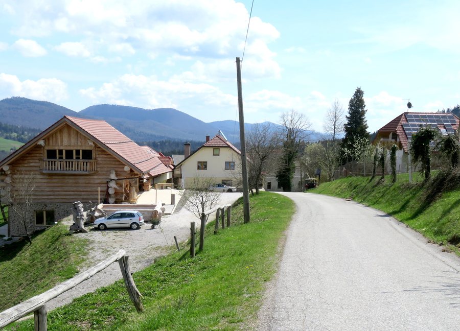
Rigelj pri Ortneku is part of the Slemena landscape. It is considered a hilly area with panoramic views and small, clustered villages. In Rigelj pri Ortneku, the Oblak tourist farm is run and further developed by the family, with the aim of preserving a business with a long tradition and making the surrounding nature accessible to visitors. The tourism strategy of the Municipality of Ribnica names the Oblak tourist farm in Rigelj pri Ortneku as the establishment with the largest offering among the municipality’s four tourist farms.
Culture
Rigelj pri Ortneku was one of the eleven villages examined by the Ribnica Museum in 2014 as part of an ethnological study of the Slemena region. That same year, Rigelj pri Ortneku was part of the Ribnica Museum’s ethnological field research into the built heritage of the Slemena region. Houses were documented using questionnaires and survey forms, and conversations were recorded.
The wider regional surroundings also combine scenic locations with history. Ortnek Castle, also called Ortneški Stari grad, was built in the early 14th century on the 765-metre-high viewpoint hill of Veliki Žrnovec near Hudi Konec. Grmada is an 887-metre-high hill above Vrh pri Poljanah in the Mala gora mountain range. During the Ottoman incursions in the 15th and 16th centuries, Grmada was an important strategic defensive point.
Landscape
In the wider regional surroundings, the area at the source of the Ribnica is included in the European ecological network Natura 2000. Visible remains of a fish farm and a weir operated in the past century can also still be found at the source of the Ribnica.
Hiking and Cycling
Several marked routes run through the surroundings of Rigelj pri Ortneku. The Kolesarjenje po kraški planoti Slemena cycling route passes through Gašpinovo, Rigelj and Maršiči. Along a forest path, this route is marked as a footpath. Rigelj pri Ortneku is listed as a nearby point on the marked Velike Lašče–Kamen vrh hiking route. Rigelj pri Ortneku is also listed as a nearby point on the Žimarice–Mlake GPS track and the Ponikve–Kamen vrh GPS track.
The marked Slemenska krožna pot is approximately 21 kilometres long in its basic version and is also suitable for hiking. In the wider regional surroundings, a marked, 7-kilometre-long, easy circular trail runs over asphalt and gravel surfaces. A hut at the summit of Grmada is open at weekends. In good weather, the view extends as far as Snežnik, the Julian Alps, the Karawanks and the Kamnik–Savinja Alps.
In the wider regional surroundings, a path is marked with yellow-red or yellow markings on signs and trees. Information boards stand beside the former castle buildings and the church. Another well-marked route leads through easy terrain and is also suitable for a family outing.
Regional Cuisine
In the regional surroundings of the Municipality of Ribnica, Ribn’ška trojka is a stew made from local red Ribn’čan beans, potatoes and turnip; carrot can also be added if desired. Ribn’ška povanca is a dessert whose main ingredients are homemade milk, butter and cream.
Other places: Hrib-Loški Potok, Sodražica, Ribnica, Retje, Glažuta, Draga, Blate.
To the higher-level travel overview: Ribnica.

