
Discover Řepov: Landscape, Trails and History
Accommodation in Řepov
Řepov lies on the Klenice stream.
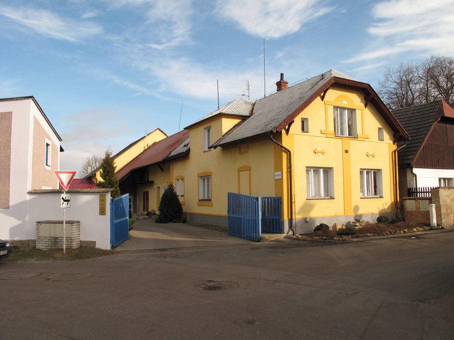
What landscape is nearby?
The Klenice stream flows through Řepov. The Klenice originates southeast of the municipality. Several hills lie in the immediate vicinity: Horka [Plazy], U Doubku [Dobrovice-Týnec] and Kněžský [Vinařice u Dobrovice]. In the wider regional surroundings of Řepov lies Mount Lysá.
Each of the three hills is assigned to the immediate surroundings of Řepov. Lysá, by contrast, lies within a wider regional area. This spatial distinction also remains important when considering the landscape: the settlement on the Klenice, the nearby hills and the more distant mountain do not belong to the same geographical level.
What did the cycle path project include?
The “Cyklolávka přes Klenici” project included approximately 0.94 km of new cycle path. The complementary infrastructure included a new rest area, benches and waste bins. A lifting bridge over the Klenice stream was also part of the project. When planning routes, these infrastructure elements can be considered together with the approximate route length.
The aim was to promote sustainable transport between Mladá Boleslav, including Škoda Auto a.s., and the suburban municipalities of Řepov, Kolomuty, Plaza, Březno and Židněves. The project therefore extends beyond Řepov and includes several places as well as transport between them.
What historical sites are there?
The Zákoutí archaeological site – a burial mound field – contains five burial mounds. The Valdštejn Church is also located in the wider regional surroundings of Řepov.
The site represents an archaeological subject, while Valdštejn Church is a religious building in the wider regional surroundings. The two details refer to different places and should be considered geographically separately.
What topics does the nature trail cover?
The “Naučná stezka Řepovem a okolím – putování za prvními zemědělci” nature trail provides information about the early settlement of the area of today’s municipality of Řepov. It also covers the beginnings and development of agriculture in various historical periods.
The nature trail has five stations with information boards. The fixed number of stations is therefore just as much a part of its structure as the topics of settlement and agriculture.
Řepovská padesátka
Since when has the Řepovská padesátka been held?
The “Řepovská padesátka” has been held since 1994 as the “Memoriál bratra Hodbodě”.
Where does the route start and finish?
The “Řepovská padesátka” route starts and finishes in Řepov.
How many athletes frequently take part?
More than 100 athletes frequently take part in the “Řepovská padesátka”.
More local pages: Ctiměřice, Kobylnice, Mohelnice Nad Jizerou, Loukovec, Dobrovice, Petkovy, Velké Všelisy and Sudoměř.
FAQ
Since when has the Řepovská padesátka been held?
Where does the route start and finish?
How many athletes frequently take part?
To the higher-level travel overview: Okres Mladá Boleslav.

