
Malé Kysice: Hotels and Accommodation
Accommodation in Malé Kysice
An archaeological hillfort on Vysoký vrch was discovered in 1961 and is dated to the period from the 5th to the 3rd century BC.
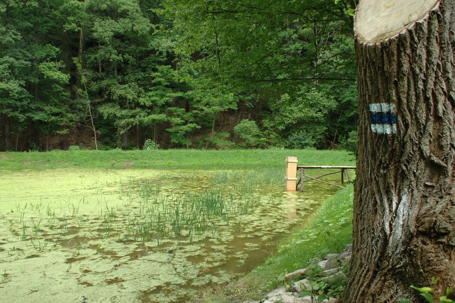 File:Malé Kyšice, Rybník na Černém potoce.jpg
Photo: Photo: I would appreciate being notified if you use my work outside Wikimedia. More of my work can be found in my personal gallery .
File:Malé Kyšice, Rybník na Černém potoce.jpg
Photo: Photo: I would appreciate being notified if you use my work outside Wikimedia. More of my work can be found in my personal gallery .
Landscape and Terrain
The hillfort on Vysoký vrch lies on a rocky promontory measuring approximately 1.5 hectares. The elevated plateau is protected by rock faces to the northwest. The hillfort includes a stone fortification wall, only a small part of which remains today.
Doutnáč is a mountain in the vicinity of Malé Kyšice. The immediate surroundings of Malé Kyšice also include Brdce [Horní Bezděkov], Chrbina [Chyňava-Libečov], and Pelechovka [Chyňava]; all three are hills.
Hiking and Cycling
Netopýr Bike offers a bike park, a pump track, and trails. A red-marked section of the Stezkami Barrandienu route leads to the centre of Malé Kyšice.
The Kladno–Kožová hora–Malé Kyšice cycling route project envisaged that the route would pass through the cadastral areas of Velká Dobrá, Pletený Újezd, Braškov, Kyšice, Horní Bezděkov, Unhošť, and Malé Kyšice.
Culture and History
Proškův mlýn is located in the area of Malé Kyšice. Its first written mention dates from 1432, and the surrounding walls from that period have been preserved. Inside, a black kitchen with a smoke chamber dating from the 18th century has been preserved, along with milling equipment documenting developments from the 17th to the early 20th century. Proškův mlýn is open to the public several times a year.
According to tradition, the Pěnkava couple had the Chapel of the Virgin Mary of Žlábecká built at a spring with healing water in 1649 after their blind daughter Sabina recovered.
Wider Regional Area
The wider regional area around Malé Kyšice includes Letohrádek královny Anny, a château. Also located in this wider regional area are Stará kanalizační čistírna Praha-Bubeneč, a museum, Galerie Rudolfinum, a museum, and Palác Kinských, a palace.
More town pages: Doksy, Hradečno, Stehelčeves, Plchov, Jemníky, Buštěhrad, Lány U Rakovníka, Poštovice
To the main travel overview: Kladno District.
