
Toušice: Bridge, Fortress and Trails
Accommodation in Toušice
Toušice combines architectural history with marked trails and waterways in the surrounding area and the wider region. The stone Baroque bridge has five vaulted arches and dates from the second half of the 17th century or around 1700. In the Czech Republic, it is registered as an immovable cultural monument.
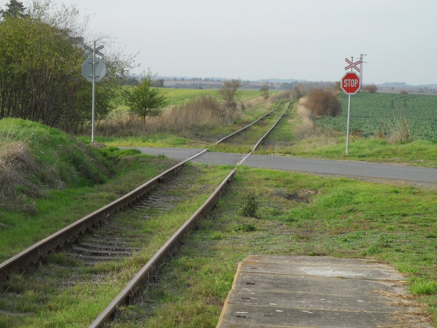 File:Toušice C. Železniční zastávka, směr Bošice.jpg
Photo: Stribrohorak via Wikimedia Commons, CC BY-SA 3.0
File:Toušice C. Železniční zastávka, směr Bošice.jpg
Photo: Stribrohorak via Wikimedia Commons, CC BY-SA 3.0
Culture and History
The Trmalova Fortress in Toušice is an archaeological site containing finds and remnants. It is located on a rocky promontory above the Vavřinec stream. On the opposite side, the site is protected by a deep ditch carved into the rock.
At the bridge, the focus is on its architectural form, dating and monument status; at the fortress, the key described features are its archaeological character, rocky promontory and protective ditch. This makes it possible to consider the two cultural landmarks according to their respective characteristics.
Landscape in the Surrounding Area
Stará Kouřim [Kouřim] and Háj [Svojšice u Kouřimi] are hills in the immediate vicinity of Toušice. Horky and Hořánck are mountains in the wider region. Also located in the wider regional surroundings is Zámek Kačina, classified as a castle. The landscape references therefore differ in terms of their characteristics and regional classification, without having to be combined into a single excursion destination.
Other places: Klučov, Tuklaty, Velký Osek, Poříčany, Veltruby, Nová Ves-Ohrada, Rostoklaty, Starý Kolín
Nature and Hiking
The pools of the Toušické prahy are home to rare aquatic creatures, including bullhead, stone loach, burbot and brown trout. The Toušické prahy are located on the Vavřinec stream southeast of Toušice. They can be reached via the yellow-marked KČT hiking trail no. 6082 between Toušice and Zásmuky.
The short, easy Vlčím dolem hiking route runs from Zásmuky to Toušice. It takes approximately 1.5 hours. For planning the routes, the approximate duration, yellow marking, starting point and destination can be considered separately. This means that the information about the short route differs from the characteristics of the marked trail section, without equating the two routes.
Further Activities
The descent of the Toušická Cascade is rated WW IV and intended for experienced canoeists. The CKH13 cycling route runs from Toušice to Zásmuky along the yellow KČT marking around the Toušické prahy and the stone bridge in Toušice; it is easy to ride. The hiking route, canoeing section and cycling route therefore differ clearly in terms of route, marking and level of difficulty.
The options described can be compared according to different criteria: for the hiking trails, route, marking and approximate duration are relevant; for the cycling route, its stated rideability; and for the cascade, its WW-IV rating and its suitability for experienced canoeists. This keeps hiking, cycling and canoeing comparable as separate activities, each with its own information.
When choosing a hotel in Toušice, travel dates, room category and cancellation conditions can make different offers comparable. These three details provide an objective framework for choosing accommodation; the local cultural, landscape and trail features remain independent of this.
For the higher-level travel overview: Kolín District.

