
Drahany: Hotels and Accommodation
Accommodation in Drahany
Drahany is located on the main ridge of the Drahanská vrchovina at an average elevation of 625 metres. At the same time, Drahany is the highest-elevation municipality in the eastern part of the Drahanská vrchovina.
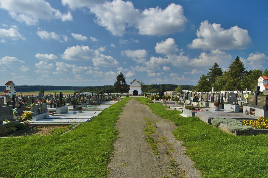 File:Hřbitov, Drahany, okres Prostějov (03).jpg
Photo: Jiří Komárek via Wikimedia Commons, CC BY-SA 4.0
File:Hřbitov, Drahany, okres Prostějov (03).jpg
Photo: Jiří Komárek via Wikimedia Commons, CC BY-SA 4.0
Nature
The Velká Haná River rises in the eastern part of Drahany, while the Drahanský potok stream originates southeast of Drahany. A large part of Drahany’s extensive cadastral area is covered by dense forests. Nebeský rybník provides a habitat for endangered plant and animal species.
Culture
The late-Baroque Church of St. John the Baptist, “kostel sv. Jana Křtitele,” dates from 1790 and is a landmark in the local landscape. The protected ensemble comprises the church, a mortuary, a bell tower, and the associated land. The church has a rectangular nave and a rectangular chancel. The ruins of Drahuš Castle are also located in the vicinity of Drahany.
Traditions
Vánoční Drahanská is a traditional Christmas run from Žárovice to Drahany. Participants can run, walk, or cycle during the event. Štěpánský ponor is a traditional ice-swimming event, or bathing in cold water.
Hodová zábava is a traditional dance event in Drahany featuring music and refreshments.
Geographical Location
Drahany is located on Class III Road No. 377, which leads from Plumlov to Lipovec.
Other places: Výšovice, Želeč, Lešany, Hvozd U Prostejova, Mořice, Polomí, Skalka U Prostějova, Vícov
To the higher-level travel overview: Okres Prostějov.

.jpg)