
Štítov: Hotels and Accommodation
Accommodation in Štítov
Štítov is located in the immediate vicinity of the Brdy forests. The first written reference to Štítov dates back to 1460; in the same year, Štítov belonged to Litobor z Kolešova.
History and Culture
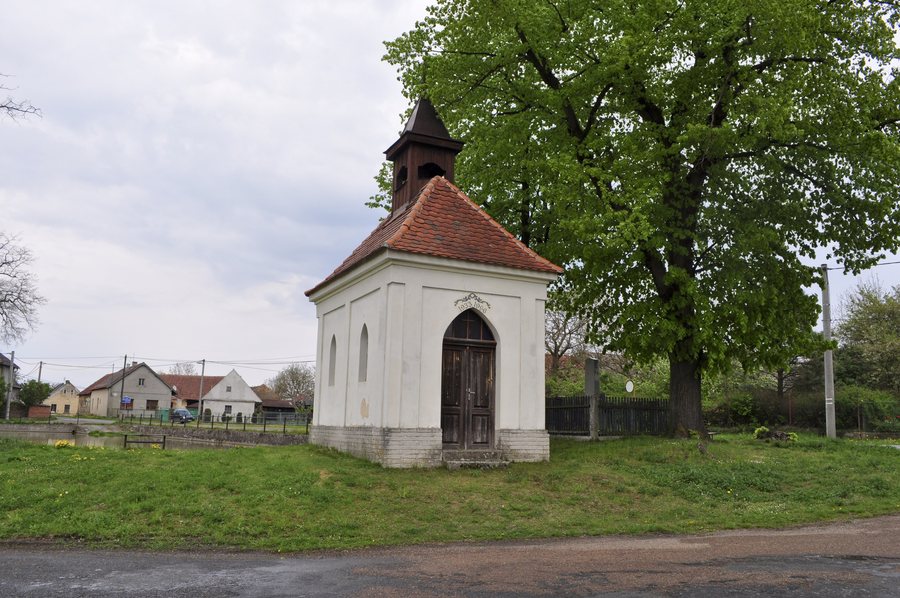
The chapel on the village square in Štítov was built around 1700. It is a small rural masonry church building with a hipped roof and bell tower. Folk traditions such as Masopust, Velikonoce, posvícení and Pěkná are still observed in Štítov. During the Second World War, Štítov was evacuated. After the war, the people returned to their homes in Štítov.
Villagescape
The ruins of Homberka Castle and Držky Castle are located near Štítov. Homberka dates back to 1263, while Držky dates back to 1287. Legends are associated with Štítov and the nearby ruins of Homberka and Držky.
Trails
A yellow-marked hiking trail runs through Štítov. Cycle Route No. 2154 also passes through Štítov. At the edge of the village of Štítov in the direction of Skořice stands a wayside cross.
Location
Štítov is situated on a transport link from Rokycany to Příbram.
More village pages: Vejvanov, Kakejcov, Zvikovec, Příkosice, Cekov, Lhota Pod Radčem, Klabava, Všenice
To the higher-level travel overview: Rokycany District.

