
Lhota Pod Radčem: Hotels and Accommodation
Accommodation in Lhota Pod Radčem
Lhota pod Radčem lies below the Radeč massif, which is part of the Brdy range, and below Čihátko Hill, which has an elevation of 654 metres.
Nature
Most of the Lhota forest district extends across Radeč Nature Park; a smaller northern section reaches into the Křivoklátsko Protected Landscape Area. Above Lhota pod Radčem lies the Radeč climbing area, with numerous boulders and several climbing routes.
The Radeč climbing area can be reached from Lhota pod Radčem: From the car park by the football pitch, follow the red hiking trail for about 400 metres and then a forest road for approximately 900 metres to the distinctive overhang at the beginning of the crags.
Culture and History
Lhota pod Radčem was first mentioned in writing in 1352. Of the settlement of “Malá Lhota”, established in the 14th century, only one mill has survived to this day.
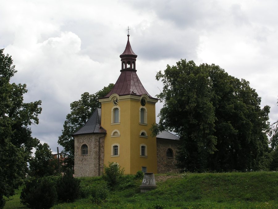
The present-day Church of St James and St Philip was built in the 18th century and is designated as an immovable cultural monument in Lhota pod Radčem. The designation of Lhota pod Radčem as a village heritage zone came into effect on 1 January 2005.
On Site
Lhota pod Radčem has two inns, a grocery store and several other small shops. The Zbiroh–Rokycany–Plzeň and Zbiroh–Rokycany bus routes run through the village.
For the circular walk, the car park is located by a small shop slightly below the church.
Other Places
Těškov, Štítov, Hůrky, Kakejcov, Březina U Rokycan, Trebnuska, Mešno, Klabava
To the higher-level travel overview: Rokycany District.

