
Nehodiv: Hotels and Accommodation
Accommodation in Nehodiv
The Pohoří–Myslív–Nehodiv–Loužná loop trail is part of the surroundings of the Stehlíkova educational trail, which has seven stops and covers the flora, fauna, and history of the municipalities and landscape in the footsteps of the writer Ladislav Stehlík. The loop trail offers beautiful views of the landscape.
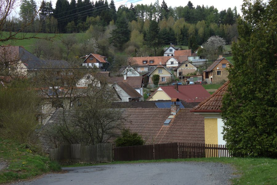 File:Nehodiv, náves II.jpg
Photo: I would appreciate being notified if you use my work outside Wikimedia. More of my work can be found in my personal gallery . via Source, CC BY-SA 4.0
File:Nehodiv, náves II.jpg
Photo: I would appreciate being notified if you use my work outside Wikimedia. More of my work can be found in my personal gallery . via Source, CC BY-SA 4.0
Nature
The Dolejší dráhy Nature Monument is located approximately 1 km southwest of Nehodiv, on the southern side of the road to Štipoklasy. It comprises former communal meadows with numerous protected and endangered plant species.
The landscape around Nehodiv is dominated by the 706 m-high Stírka hill. In the vicinity of Nehodiv are Buzrakov (Plánický hřeben), a mountain, as well as three hills: Bohdáš [Plánice-Štipoklasy], V Kopaninách [Plánice-Pohoří u Lovčic], and Hrádek [Plánice-Štipoklasy u Lovčic].
Culture
In the center of Nehodiv, a reconstructed chapel of Saint John of Nepomuk stands in the village square; the chapel was built in 1950. This place of worship stands on the site of a former Baroque chapel.
An old linden tree stands in Nehodiv’s village square. Its trunk circumference is more than three meters, and it has stood there for almost 300 years.
Geographical Context
In the wider regional surroundings of Nehodiv is the Radomysl Mediumwave Radio Mast, which is considered a ruin.
More local pages: Kvášňovice, Olšany, Hradešice, Žihobce, Petrovice U Sušice, Chudenín, Branickov, Kocourov
To the higher-level travel overview: Klatovy District.

