
Horné Srnie at the entrance to the Vlára Pass
Accommodation in Horné Srnie
Horné Srnie lies on the Slovak side of the White Carpathians at the entrance to the Vlára Pass in the middle Váh region.
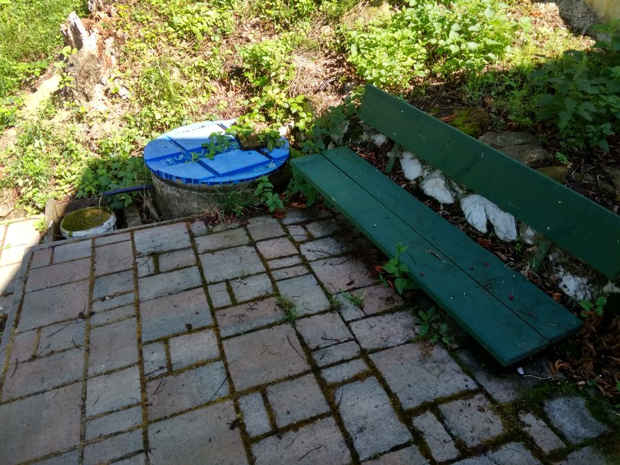 File:Prameň v k.ú. Horné Srnie, wgs84 49.0328N 18.0925E.jpg
Photo: Lubosj tn via Wikimedia Commons, CC0
File:Prameň v k.ú. Horné Srnie, wgs84 49.0328N 18.0925E.jpg
Photo: Lubosj tn via Wikimedia Commons, CC0
Nature
The PP Rajkovec protected area is a 0.94-hectare forest meadow above Horné Srnie near the Rajkovec settlement. Several orchid species occur in this area, including Gymnadenia conopsea and Orchis pallens. Rare animal species include the slow worm (Anguis fragilis), the Aesculapian snake (Zamenis longissimus) and the edible dormouse (Glis glis).
Part of the Horné Srnie landscape area belongs to the White Carpathians Protected Landscape Area, with the second level of protection. The Vlára River, which flows through Horné Srnie, also has special protection status: it is a Natura 2000 site of European importance with the second level of protection and winds through the Vlára Valley near Horné Srnie. Valuable species of fish, birds and hymenopterans occur on the Vlára’s exposed riverbanks.
Culture and history
The Church of Saint John of Nepomuk was built in 1789. The present church preserves the tower of the original Baroque church building; its side chapel contains a Rococo altar from the second half of the 18th century. The furnishings also include a historicist bell dating from 1864, made by F. V. Fischer.
The history of transport and rule is also present in the valley. In 1888, the first railway connection between Moravia and Slovakia was opened through the Horné Srnie valley. Via Regni, the King’s Road, connects both sides of the White Carpathians. In earlier times, aristocratic coaches travelled here from Trenčín to Brumov and back.
Activities
The Antonstál Forestry Educational Trail can be reached from Horné Srnie by bus to the state border and then on foot via trails marked in red and yellow. The walking route is 8.5 km long, has an elevation gain of 520 m and takes 3.5 hours.
In winter, a 900 m-long ski lift operates in the Rajkovec district. During the season, the Vlára River is used for fishing.
For cyclists, Horné Srnie is part of the BEVLAVA network: a 10 km section of the BEVLAVA cycle route connects Horné Srnie and Nemšová. The BEVLAVA project envisages a cross-border, continuous connection suitable for visitors and free of motorised traffic, in which Horné Srnie participates. Three kilometres north of Horné Srnie, there is also a mineral spring with an established picnic area near the BEVLAVA cycle route.
When comparing a hotel or accommodation in Horné Srnie, you can check the exact location, accommodation type and possible occupancy on the respective offer pages before booking. Included services, individual price components, and booking and cancellation conditions are also relevant. This makes it possible to compare different offers based on their specific details, without assuming features that do not apply to every offer.
Other places
Other places in the higher-level area: Omšenie, Chocholná-Velčice, Zamarovce, Trencin, Trenčianska Turná, Svinná, Veľké Bierovce, Soblahov.
To the higher-level travel overview: Trenčín District.

