
Hotel Šútovce: Hiking trails over Šútovské sedlo
Accommodation in Šútovce
Šútovce lies at the transition from Malá Magura to the Nitrica foothills of the Upper Nitra Basin. At the same time, the village is situated along the upper course of Trebiansky potok. These two geographical references give the village a clear setting between the mountain edge, the basin landscape and the stream course.
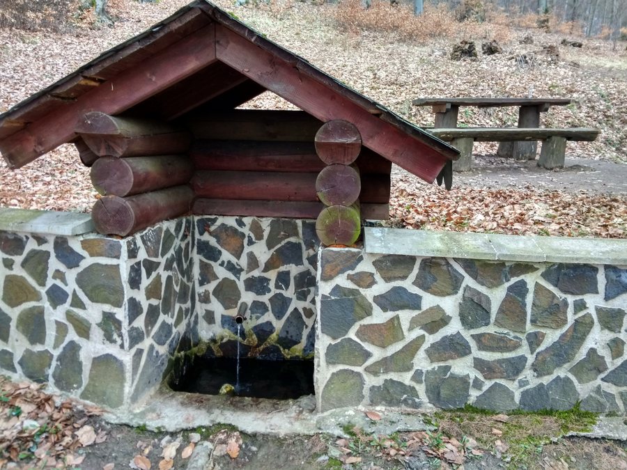 File:Prameň v k.ú. Horné Šútovce, wgs84 48.8170N 18.5479E.jpg
Photo: Lubosb via Wikimedia Commons, CC0
File:Prameň v k.ú. Horné Šútovce, wgs84 48.8170N 18.5479E.jpg
Photo: Lubosb via Wikimedia Commons, CC0
History and chapels
Šútovce is a manorial settlement dating from the 12th century. The municipality of Šútovce was formed in 1922 through the merger of Horné Šútovce and Dolné Šútovce. Several small religious buildings preserve their own dates: the Chapel of the Immaculate Heart of Mary in Dolné Šútovce dates from 1908, while the Marian Chapel in Horné Šútovce dates from 1920. The small Chapel of the Seven Sorrows of Mary was built before 1900 and is the oldest of the chapels in Šútovce.
The Šútovce cultural centre is also part of the local historical heritage. It is a former local primary school built before 1900, probably around 1890. Horné Šútovce also has its own historical character: The district was known for extensive fruit growing, particularly cherries. In Šútovce, 6 June 2024 and 22 April 2026 bear the designation Čerešňové slávnosti.
Out and about
Šútovské sedlo provides a connection to a marked hiking trail. The marked hiking trail over Šútovské sedlo leads to the summit of Boškovho lazu at an elevation of 935 m and to the summit of Magura at an elevation of 1,141.3 m. Šútovské sedlo can be reached from a bus stop in Šútovce in about 20 minutes on foot through the forest. Another route is the Rokošská radiála, which descends steeply from Šútovské sedlo to Šútovce.
The information combines different trail characteristics: In addition to the summit destinations, the connection to the marked hiking trail itself is also identified, while access to Šútovské sedlo is described via the bus stop and forest path. Planning therefore depends both on the elevations of the destinations and on the approximate duration of the approach.
Cycling routes
The Pálfyho trail runs through Šútovce for a distance of 1.02 km. Overall, the Pálfyho trail is 4.4 km long and is managed by Hornonitrianske stopy. The Bojnicko - Dubnický okruh also runs through Šútovce for a distance of 687 m. This means that two named routes with differently stated lengths are documented for the village.
Before booking, you can check the exact location, the type of accommodation and the permitted occupancy. You can also compare included services, individual price components, and the conditions for booking, changing or cancelling. This allows you to assess an overnight stay based on the conditions actually stated.

