
Libomyšl: Hotels and Accommodation
Accommodation in Libomyšl
Libomyšl can be described through clearly named structures and landscape features. These include the oval fortified area of the Hrádek archaeological site. It measures approximately 35 × 22 metres and is protected by a ditch to the south, west and east. The Hrádek fortified area is currently protected as an archaeological element.
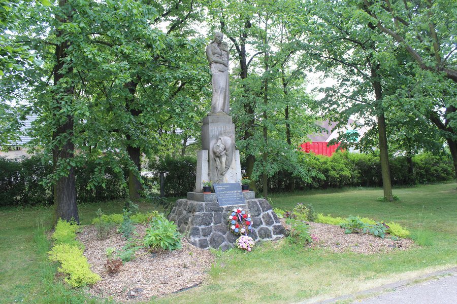 File:027 Libomyšl centrum pomník Otakara Hávy.jpg
Photo: Janmanak via Wikimedia Commons, CC BY-SA 4.0
File:027 Libomyšl centrum pomník Otakara Hávy.jpg
Photo: Janmanak via Wikimedia Commons, CC BY-SA 4.0
History and Village Character
The fortified Hrádek u Libomyšle manor house and the neighbouring village were probably founded in the first half of the 14th century. The “Chapel and Cross” ensemble is located approximately in the middle of the elongated village green in front of the municipal office. Its chapel is a small rural building from the late 18th century.
In the southern part of Libomyšl stands the former water mill “Válcový mlýn Dr. Lad. Šouši”. It is also called Soušův mlýn and is already marked on a 1727 map of the Jewish settlement of Libomyšl.
Landscape
The Hrádecká lípa was first placed under protection on 26 May 1978. The Litavka flows through Libomyšl.
Geographical Location
The mountains of Plešivec, Hradec, Holý vrch and Aglaia lie in the vicinity of Libomyšl. Svatý Jiří and Svatá Anna, two churches, are also located nearby. In the wider regional surroundings of Libomyšl are Karlštejn, a castle, and Týřov, a ruin.
More Local Pages
More local pages: Bzová, Zajecov, Hlasna Treban, Lochovice, Trubín, Kotopeky, Neumětely, Rpety.
To the higher-level travel overview: Beroun District.

