
Rohatsko: Hotels and Accommodations
Accommodation in Rohatsko
Rohatsko lies on a sunny, low terrace above the Klenice River, facing southeast.
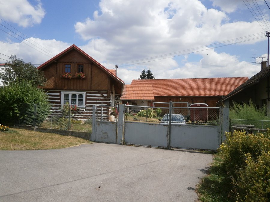
Landscape
The U Formanské cesty hill [Dolní Bousov-Bechov] is located in the vicinity of Rohatsko. The Mílová hora hill [Domousnice] is also nearby. The Střelečská hůra mountain lies in the vicinity of Rohatsko, while the Přivýšina mountain is located in the wider regional area.
History and Culture
A new copy of the statue of Saint Wenceslas stands on the cadastral boundary between Rohatsko and Dolní Bousov. A Slavic settlement was founded on this boundary in the 9th century. In the 13th century, the idea arose of establishing an agricultural village with probably five or six homesteads. The first written mention of Rohatsko appears in a purchase contract for the Kost estate.
Valdštejn is listed as a church and is located in the vicinity of Rohatsko.
Paths and Routes
The educational trail “Okolo Klenice za hrou a poučením” runs through Rohatsko and begins and ends at the outdoor swimming pool in Dolní Bousov. The Studánka Na Horách spring lies next to the educational trail and has its own information board. Visitors can join the educational trail from the Rohatsko railway stop, following the local Klenice stream.
On the route described near Rohatsko, you pass the Kyselák pond. For a cycling trip, Route 8148 from Dolní Bousov to Rohatsko is recommended.
More Local Pages
More local pages: Charvatce, Katusice, Mohelnice Nad Jizerou, Hrušov, Koryta, Veselice, Dobrovice, Krásná Ves.
To the higher-level travel overview: Mladá Boleslav District.

