
Sukorady: Hotels and accommodation
Accommodation in Sukorady
The clearly visible remains of the former Vysoká fortress are now called Pustý hrad. The former Vysoká fortress stood in the forest south of Sukorady and was surrounded by a moat.
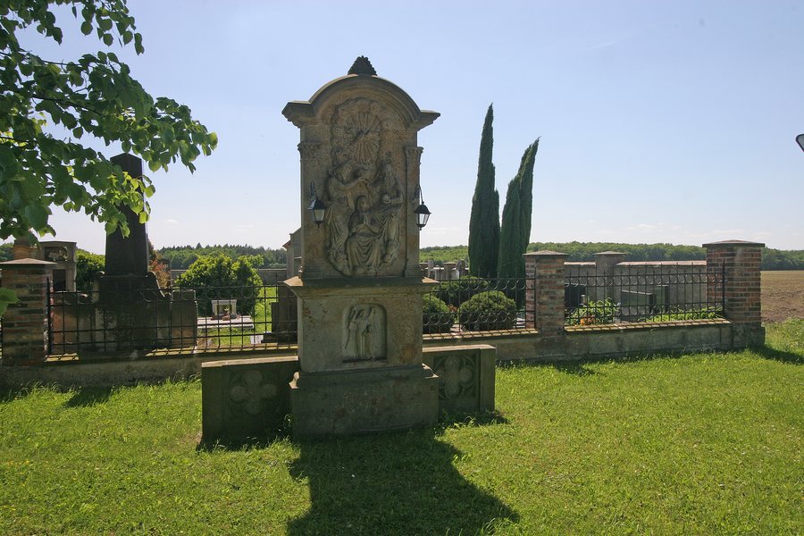 File:Sukorady - socha sv. Trojice u hřbitova.JPG
Photo: Petr1888 via Wikimedia Commons, CC BY-SA 3.0
File:Sukorady - socha sv. Trojice u hřbitova.JPG
Photo: Petr1888 via Wikimedia Commons, CC BY-SA 3.0
History and culture
Sukorady has a cemetery cross depicting Jesus Christ, dating from 1839. The first documented performance by the amateur theatre in Sukorady dates back to 1887. The Church of Svatý Jiří is also located in the wider regional surroundings of Sukorady.
Water and forest
The Králický potok flows through the southern part of Sukorady. West of Sukorady, the Králický potok feeds the Temník pond. Forests cover 55 % of the cadastral area of Sukorady.
Biological areas
At the northern edge of the municipality, the functional regional biocentre RBC 989 Bašnický a Lískovický les extends into the planning area of Sukorady. South of the settlement of Kouty, the functional local biocentre Za Kouty includes a small pond and a meadow. The functional local biocentre Myštěvák includes a small pond and predominantly deciduous forest stands.
Surroundings
The Maxinec mountain (MLázovický chlum) is located in the surroundings of Sukorady. In the immediate vicinity of Sukorady are the hill (Na Rybníku) [Bašnice], Pařez hill [Sukorady u Hořic], and Kloboučky hill [Lískovice u Ostroměře].

