
Machovska Lhota: Hotels and accommodations
Accommodation in Machovska Lhota
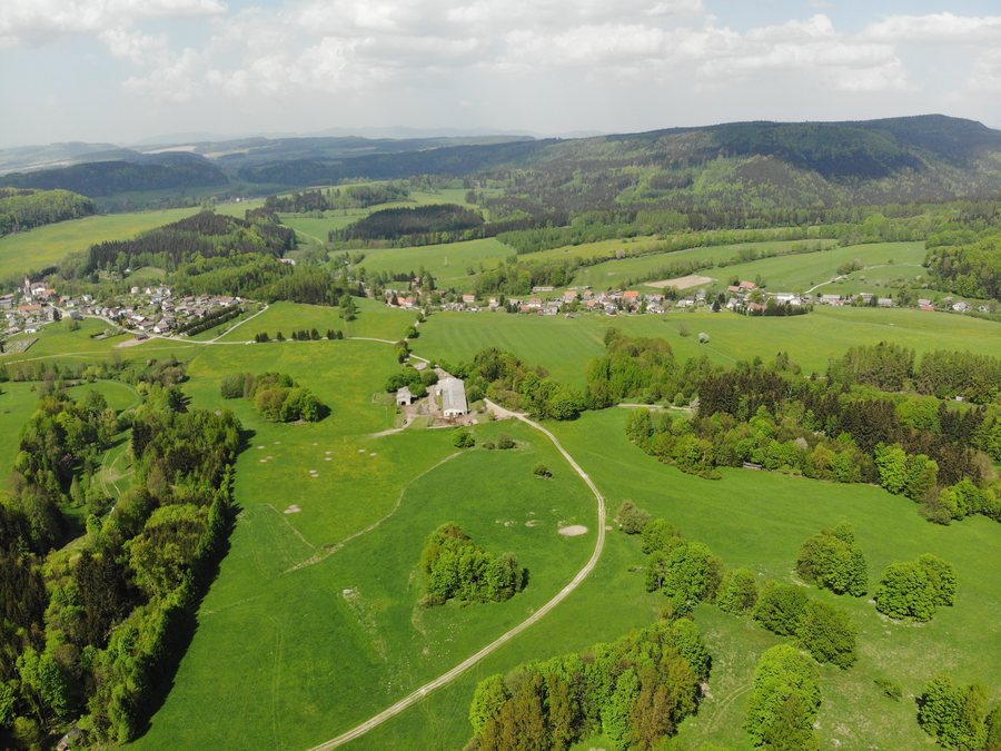
Machovská Lhota is one of the four districts of Machov. The Machov area belongs to the Broumovsko Protected Landscape Area.
Nature and trails
Cycling route No. 4000, “Okruh Stěny,” runs through Machovská Lhota. The international route is around 55 kilometers long, partly runs through Poland, and passes through nature reserves around mountain ridges with rock formations and viewpoints on both sides of the state border.
The “Vzhůru na Hejšovinu” hiking route runs from Machov via Machovská Lhota, Pod Horou, and Pasterka. It then ascends via the yellow and subsequently the red hiking trail to Velká Hejšovina, with its rock city and mountain hut.
The “Jak se zde dřív žilo” educational trail begins in Machovská Lhota–Nouzín and ends in Ostra Góra in Poland. It has three stations with information boards; the texts are written in Czech and Polish.
History and villagescape
The former evangelical rectory in Machovská Lhota dates from 1813 and also served as a prayer house of the Bohemian Brethren. A stone chalice is located on its chimney.
The monument to the victims of the First World War in Machovská Lhota was erected in 1922. It lists 16 residents of Lhota who fell in the First World War.
On a walk through Machovská Lhota, you can see beautifully timbered wooden houses typical of the municipality.
Other village pages
Other village pages: Lhota Pod Hořičkami, Běluň, Žďárky, Červený Kostelec, Heřmánkovice, Bohuslavice Nad Metují, Šestajovice U Jaroměře, Brzice.
To the higher-level travel overview: Náchod District.

