
Vršovka: Hotels and Accommodation
Accommodation in Vršovka
Nature and Landscape
The Halín Protected Area also includes the cadastral area of Vršovka. The area is accessible via forest paths. The conservation objectives of Halín include supporting stable populations of the fire-bellied toad (Bombina bombina).
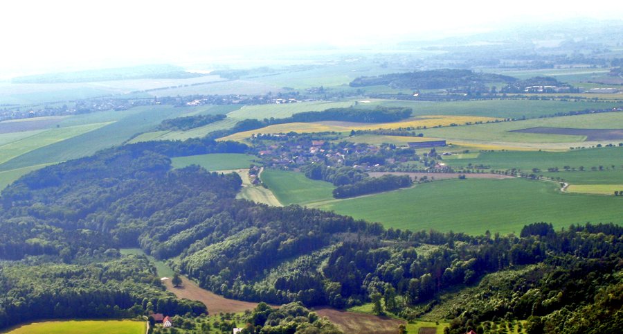
At 354 metres, Pustinka is the highest point in the surrounding area. Pustinka offers a wide view over the landscape.
Cycling
The documented 8-kilometre section of cycle route 4059 runs from Spy via Vršovka and Černčice to Lhota u Nahořan. In the Rozkoš area, cycle route 4059 follows Class III roads and paved local paths.
History and Culture
According to local tradition, residents hid on Pustinka from Swedish troops during the Thirty Years’ War.
There is a stone cross next to the Vršovka municipal office. It was erected in 1898 at the municipality’s expense and depicts the crucified Christ, along with side statues of the Virgin Mary and Saint John.
Leisure
The Za Humny leisure area includes a nohejbal court, a beach volleyball court and a football pitch. Badminton equipment, tennis rackets, Kubb and pétanque equipment, and balls can be rented there.
Other places: Jetřichov, Šestajovice U Jaroměře, Police Nad Metují, Velká Jesenice, Náchod, Horní Radechová, Provodov-Šonov, Velké Petrovice.
For the broader travel overview: Náchod District.

