
Hnacov: Hotels and Accommodation
Accommodation in Hnacov
The Hnačovský rybník covers 68 hectares and was created in 1613. The Hnačovský rybník is used for recreation.
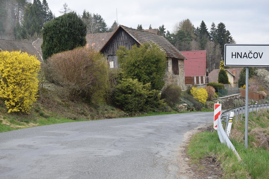
Landscape and Trails
Zbudov is a landscape landmark of Hnačov and reaches 645 metres above sea level. The Úslava Valley forms a landscape axis in the Hnačov area, separating two gently undulating plateaus.
A short hiking route around the Hnačovský rybník crosses a footbridge over a small bay and offers views of the Bohemian Forest and the pond.
Water Sports and Cycling
Wake Park Hnačov rents wakeboards, wakeskates, water skis and wetsuits.
Cycle Route No. 2082 runs through Hnačov along the connection between Měčín and Kolinec. On the documented connection from Měčín to Kolinec, it is 28 kilometres long. A road approximately 1 km long connects Hnačov with a cottage area and continues as a connection to Plichtice; it is designated as Cycle Route No. 2082 and as a route for pedestrian traffic.
Culture and History
The meeting of socialist vehicles traditionally takes place at Autocamp Hnačov and is regarded in Hnačov as an exhibition of historic machines.
Other local pages in the catalogue: Kvášňovice, Slatina, Čachrov, Komušín, Nýrsko, Kolinec, Soběšice, Chudenín.
To the higher-level travel overview: Klatovy District.

.jpg)