
Krokava: Nature, Trails and Folk Culture
Accommodation in Krokava
Krokava lies on the southern slope of Tŕstie in the eastern Slovak Ore Mountains. The cadastral territory of Krokava lies at elevations between 750 and 1,121 metres above sea level. The area around Krokava is largely deforested; where forests predominate, they are mainly beech forests. Elevation, the protected area and forest cover shape different levels of the landscape.
Nature
The Tŕstie Nature Reserve extends across the cadastral territories of Tisovec, Rimavská Píla and Krokava. Tŕstie has been protected since 1980 and covers 28.71 ha. The nature reserve contains rare, biologically diverse wetland and peatland habitats, including habitats with the rare round-leaved sundew (Drosera rotundifolia). The reference area is important for understanding the geography: Krokava, its cadastral territory and the Tŕstie protected area, which extends across several cadastral territories, do not coincide.
Trails and Views
Part of the Tŕstie nature trail passes through the Tŕstie Nature Reserve. The Tŕstie nature trail is intended exclusively for pedestrians. The Tŕstie nature trail from Tisovec is 6 km long and has five information panels covering the Tŕstie massif and its natural wealth. The trail passes a monument to the botanist Václav Vraný. It also offers distant views of the Low and High Tatras and the Muránska planina.
The Cesta Márie Széchy tourist route runs along the ridge of Tŕstie and between Fiľakovo Castle and Muráň Castle. The different types of routes can be considered side by side when planning your day: walking trail, ridge route, cycling route, viewpoint, nature themes and cultural stops provide different points of comparison.
In Krokava, these trails can be distinguished by means of transport, route character and thematic focus. The Tŕstie nature trail, the Tŕstie ridge and the cycling ascent to the ski lift stand alongside distant views, nature observation and the cultural stops along the way.
Cycling Route and Winter
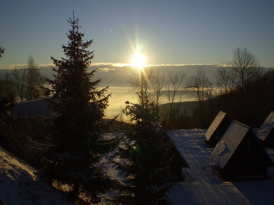
The cycling route leads uphill through Krokava to the ski lift at the end of the village. The Krokava cycling route is classified as moderate. A ski resort is located in the cadastral territory of Krokava. From the upper station of the ski lift in Krokava, there is a picturesque view of the municipality of Sirk and Železník Mountain. Those wishing to organise the activities described can distinguish between a walking trail, ridge route, cycling ascent and viewpoint.
When choosing a hotel for Krokava, travel dates, room category and cancellation conditions can provide different points of comparison. The village combines information about nature, trails and folk culture with clearly distinguishable route and landscape features.
Folk Culture and History
The picturesque cottages in Krokava convey elements of the local folk culture to visitors. Some centuries-old houses in Krokava offer insights into the history of the village. The bell tower in Krokava has a masonry ground floor and a timber-clad upper floor.
Other Places
Širkovce, Kesovce, Dubovec, Konrádovce, Gemerský Jablonec, Hajnáčka, Jestice, Jesenské
For the broader travel overview: Rimavská Sobota District.

